- Producers of typical products
- Forum
- Environmental Education
- The Authorities
- Organization and Offices
- Council Notice Board
- Transparent Administration
- Reference Legislation
- Regulations in force
- The plan of the Park
- Consultation of deliberative acts
Home » Living the Park » Itineraries and Routes » Trekking
Kaggiar Itinerary


- Departure: Pantelleria
- Arrival: Pantelleria
- Duration: 3 hour/s 30 minutes
- Difficulty Level: E - Hiking (level)
- Length: 4.5 km
- Difference in height: Uphill 100m - Downhill 100m
- Involved Municipalities: Pantelleria
- Virtual tour: lungo il sentiero, punta Spadillo
Here we are at the parking of Cala Cinque Denti (Street View 1 ). Following the perimeter in an easterly direction, after about one hundred and fifty meters, after the crossroad, you will find a staircase on the right, where the path 973C begins (2
 ). Going on along the road, walk the ancient Roman path that leads you inside the rich Mediterranean vegetation. On the seaside you could see the settlements of ancient populations, Punic-Roman cisterns; while on the opposite side the fascinating landscape materializes from the lava flows of Gelfiser and Khaggiar (3
 ).
).
 Download KMZ
 You can admire the different lava forms, originating from magmatic compositions that have given life to rocks characteristic for shape, color and consistency. Rich is the presence of the holm oak which comes in the form of scrub-bush (4 ).
).
At the first crossroad indicated, which you find at the bottom of the lava stone path, continue to the left (5 ). Particular are the forms of adaptation of the Mediterranean maquis that develop sheltered from the wind. The large volcanic rocks, entirely covered with lichens, take on an orange color. Walking for about one km you see the first element of Pantesca architecture: the rural dammuso (6
 ).
).
At the intersection with the perimeter, keep to the left (7 ). Then take the opposite path, crossing the road (8
 )
)
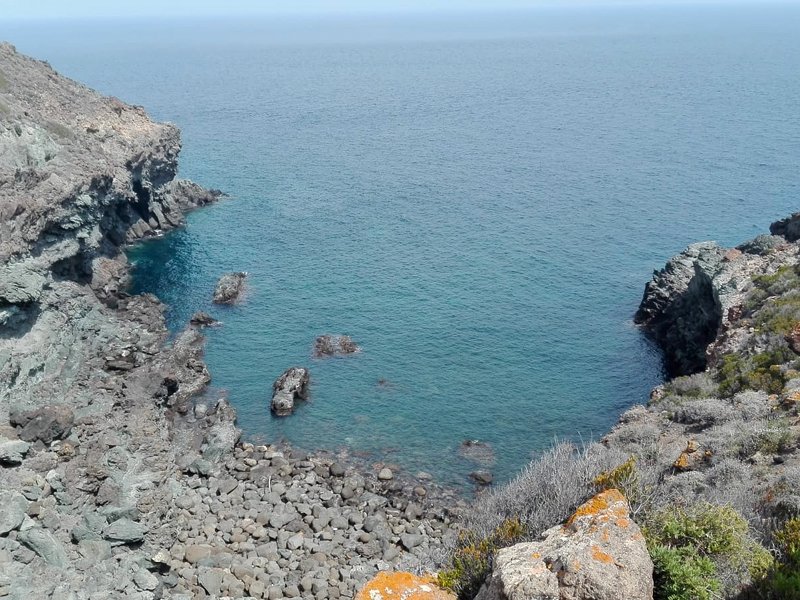
Continuing for 800 meters on the small path on the left, you will see the Punta Spadillo lighthouse. It is possible to choose to visit the beautiful coves of the area where it is mandatory to indulge in relaxing swims, to discover the aspects of the conformation of the coast and coastal ecosystems.
After swimming in the Cala Cottone cove (9 ), go up to continue towards the Punta Spadillo lighthouse (10
 ). A visit to the Vulcanolgic Museum is mandatory (11
 )
)
Leaving the lighthouse behind you, cross a first stretch of holm oak and vegetation characterized by plants adapted to live in particularly dry environments: the Phoenician Juniper (Juniperus Turbinata sudsp. Turbinata) (![]() ), the Periploca minor (Periploca angustifolia) (
), the Periploca minor (Periploca angustifolia) (![]() ), the Coastal Senecio (Senecio cineraria) (
), the Coastal Senecio (Senecio cineraria) (![]() ), the olive (Olea europea var. sylvestris) (
), the olive (Olea europea var. sylvestris) (![]() ), the tree spurge (Euphorbia dendroides) (
), the tree spurge (Euphorbia dendroides) (![]() ).
).
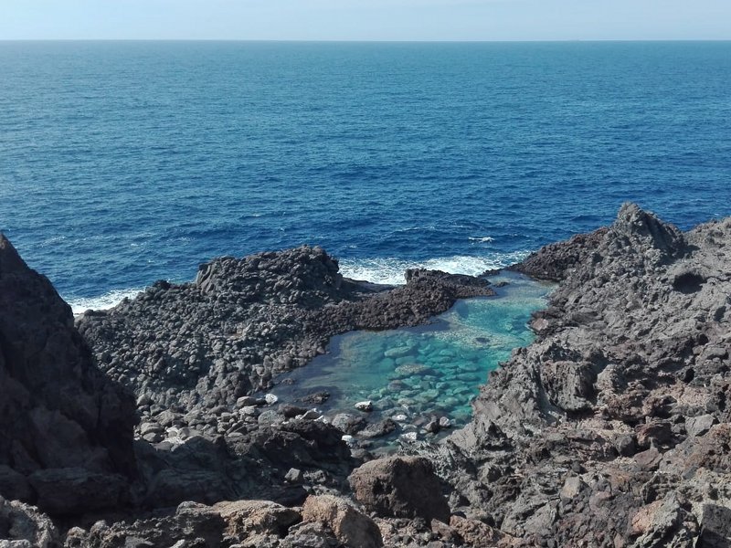
You will arrive in the large parking lot for the descent into the Laghetto delle Ondine (12 ). On the way to the sea you will find the ruins of former artillery posts from the Second World War (13
 ). After passing the lighthouse on the right you arrive at Laghetto delle Ondine (14
 )
)
Curiosity: the more adventurous can discover the Cinderella's slipper (![]() ), a roofless cave, with access from the sea through a large arch. Swimming, you find yourself in a sort of natural pool with a spectacular play of colours and lights reflecting on the sea, while on the covered side the seabed is a kingdom of sea sponges.
), a roofless cave, with access from the sea through a large arch. Swimming, you find yourself in a sort of natural pool with a spectacular play of colours and lights reflecting on the sea, while on the covered side the seabed is a kingdom of sea sponges.
The return to the starting point takes place via a path created on an old mule track of war that connects the Laghetto delle Ondine with the parking of Cala Cinque Denti.
© 2024 - Ente Parco Nazionale Isola di Pantelleria
Via San Nicola, 5 - 91017 Pantelleria (TP)
Tel +39 0923/569412 - Email: info@parconazionalepantelleria.it - protocollo@pec.parconazionalepantelleria.it
Codice fiscale: 93077090814


